When software engineers, cartographers, publishers and boaters get in a room together all sort of ideas begin percolating. That’s what Waterway Guide and Aqua Map teams have been doing for the past four years. Recognizing that both companies maintain important positions in the realm of navigation technologies and delivery platforms, the two have forged a strategic alliance dedicated to safe and informed boating.
The first effort for Aqua Map was to in
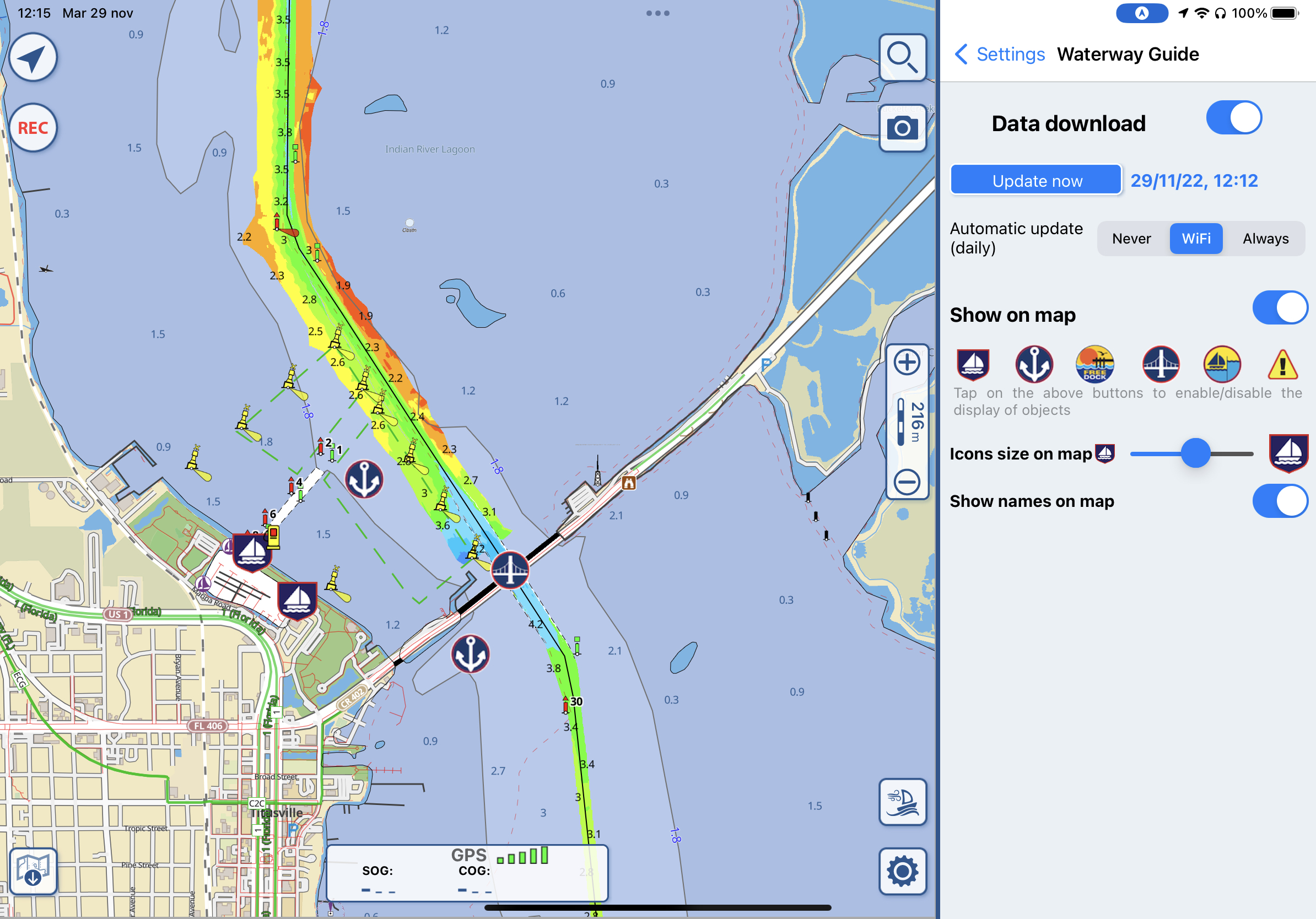
tegrate Waterway Guide data points into their mobile navigation app. Using a simple application program interface (API) of data from Waterway Guide, the Aqua Map team created an easy-to-read and understandable presentation of information that includes Naviga
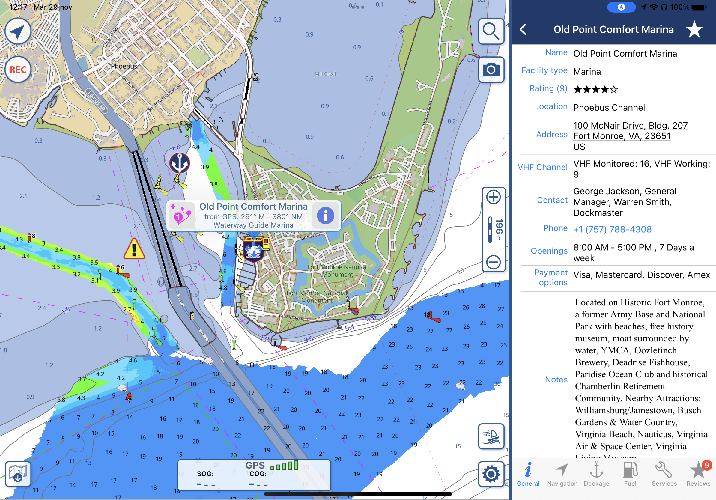
tion Alerts, Anchorages, Bridges, Locks, Marinas, and Free Docks. The information is presented as symbols that overlay on the Aqua Map charts, with multilayered information embedded in each.

Not stopping there, the Aqua Map team also offered additional functionality that allows users to display or not display certain symbols and adjust the sizes to personal preference. The data is rich but loads quickly, uses minimal storage and updates automatically if so desired. It’s refreshed real time and maintained by Waterway Guide’s full-times staff of experts and editors.

Waterway Guide then asked Aqua Map to provide cartography for the company’s online Explorer, which was launched in 2015 as part of an overall renovation of its digital content. Explorer (www.waterwayguide.com) is the most robust online planning tool for boaters in the United States.
The same data that is served to Aqua Map’s navigation platform is available for researching and reviewing destinations, points of interest and facilities. And the data and symbology are identical for ease of cross-referencing. Now Aqua Map’s cartography is an option in the Waterway Guide online Explorer.

Waterway Guide has evolved since its founding in 1947 as a publisher devoted to “taking over where the charts end.” An old slogan, but nonetheless important when understanding that descriptions, observations, and on-the-water experiences round out the information provided in cartography. Aqua Map has charts and aids to navigation (ATONS) with robust data embedded, Waterway Guide explains the details and offers advice that supports the data.
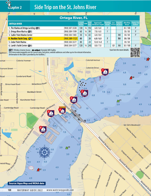
With cartography, ATONS, symbology and color schemes shared across both platforms, it was a natural extension to include the same information in the Waterway Guide books. The chart extracts used in the printed publications are the same that are seen in the Aqua Map mobile app and Waterway Guide’s online explorer. Moving across the different pages and screens is a seamless experience.
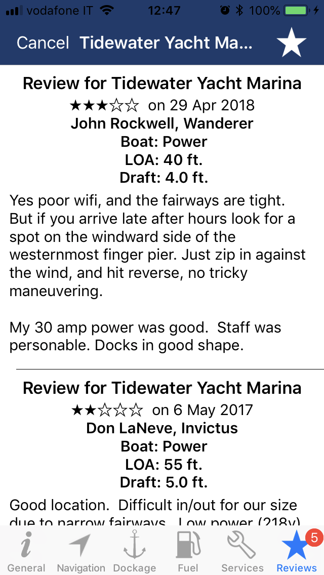
Reviews and what others say about their on-the-water experiences are more important than ever. Aqua Map shows Waterway Guide curated reviews in their points of interest (POIs) and users can post reviews to Waterway Guide through the Aqua Map mobile app to offer their opinions and insights.

Collaboration and pursuit of excellence by both teams has resulted in a well-built suite of resources for navigation never before available. With ongoing changes coming from hydrographic offices across the globe, this level of integration by Waterway Guide and Aqua Map will offer users better information with greater accuracy.
The two companies will continue to work toward additional interfaces. Subscribers will soon experience additional complementary functionality focusing on precision and expert generated content.
Ed Tillett, Waterway Guide.


