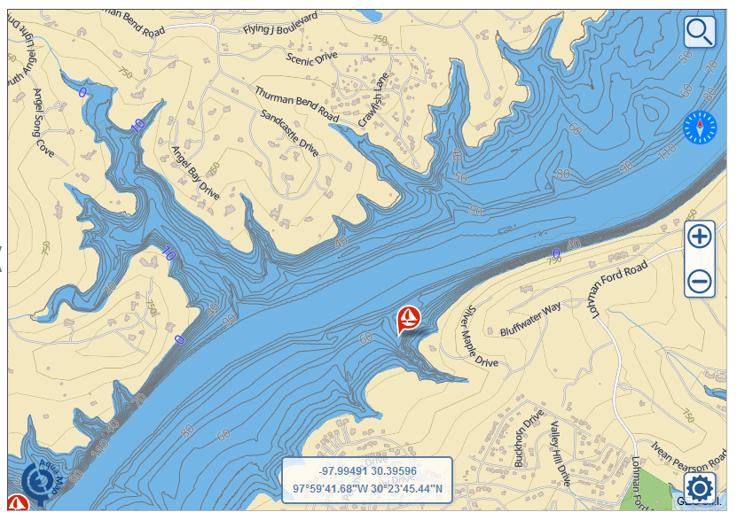
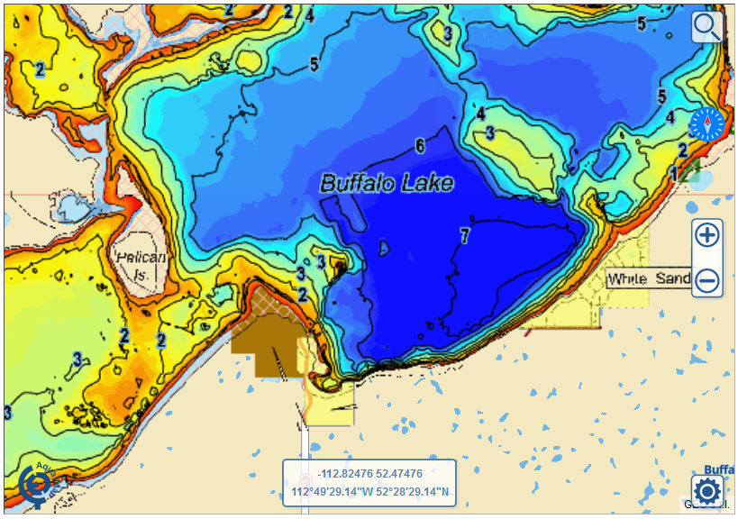
Since the first version of the Aqua Map products, we always thought the inland waters had a very important position within our market: especially in the North America.
It was estimated that about 3 million boats sail the ocean in the North America, and over 15 million on the fresh waters.
The navigation of inland lakes is obviously completely different compared to the salt water, and that’s the reason why the national Hydrographic Offices usually do not serve this market, except for large bodies of water where commercial navigation is in place.
In the last 50 and more years both USA and Canada spent efforts to survey most of their inland water bodies, mainly to define and monitor the quality and quantity of their fresh water.
Each state/province surveyed several thousands of lakes and ponds. It is estimated that about 30K waterbodies have been mapped with depth contours. Most of them are outdated and done with antiquate methods, but still there are some regions which take particular care in surveying their lakes because they represent a big portion of one of the most important outdoor activity: fishing.

Department of Natural Resources (DNR), Fish & Wildlife department, Ministry of Environment… of several state/province between USA and Canada work to improve the outdoor experiences within their bodies of water. Texas surveyed over 100 of their largest lakes in the last 10 years or so, using the best technologies to obtain a very interesting product with 1 foot step depth contours. Minnesota every year adds new lakes to their database in vector format. Ontario digitizes several tens of new charts. Maine has almost 2000 lakes with digital spot soundings….etc.

Aqua Map started with 5.000 lakes in the 2014 and now counts more than 14.000 lakes included in the USA and Canada products. We merge the best available data for inland waters, using both Vector and Raster maps.
We just completed a new update adding over 2.000 new lakes, below the most impacted areas:
- Quebec
- Alaska
- Ontario
- Texas
- West Virginia
- Nebraska
- Massachusetts
Giorgio Ghiggini, Aqua Map team.


