Jason Spitz and Monica Schandel are co-captains of SV Breathe and partners in their underwater photography business, Breathe Sail Dive, LLC. Both hold USCG Master Captain’s License and have been sailing for most of their lives. Jason started sailing around age 4 when his father converted an aluminum rowboat into a sailboat! You can follow their adventures at www.facebook.com/breathesaildive and view their photography at www.breathesaildive.com
We’ve owned and sailed Breathe, our Manta 40 catamaran, for about 10 years. For the first 8 years, our time onboard was limited to day sailing the southeast Florida coast and some shorter multi-week trips.
We moved aboard as full-time cruisers as COVID began. In early January 2022, after being fully vaccinated with boosters, we headed to the Bahamas.
Explorer Charts are acknowledged by the majority of Bahamas cruisers as the most accurate. We purchased hard copy Explorer Chartbooks and recommend that all cruisers carry paper charts but recognize that electronic charts have become the preferred method of navigation for ourselves and many other cruisers. Breathe underwent a full electronics upgrade in 2020, which included a new chartplotter, displays, autopilot, and AIS/VHF.
So with a new navigation suite, why do we run Aqua Map on our iPad Pros and iPhones?
First and foremost in the Bahamas, Aqua Map uses the same Explorer charts as in the Chartbooks. We have found them to be accurate and overall conservative. Our chartplotter runs other cartography, which we have found to be overall acceptable, but incorrect in certain areas. We use the two in concert, always using Visual Piloting Rules in areas indicated as VPR on our charts, or where either chart indicates the potential for low water depths.

In the 4+ months we’ve been in the Bahamas, we’ve visited the Berry Islands, the Exumas, Long Island, Conception Island, Cat Island, and Eleuthera, where I am writing this article. We will soon cross to the Abacos before returning to Florida for hurricane season. It’s hard to pick favorite places in The Bahamas, and with 700 islands and 2,400 cays, there’s a lifetime of exploration here. But I’ll highlight a few of our favorites in this article.
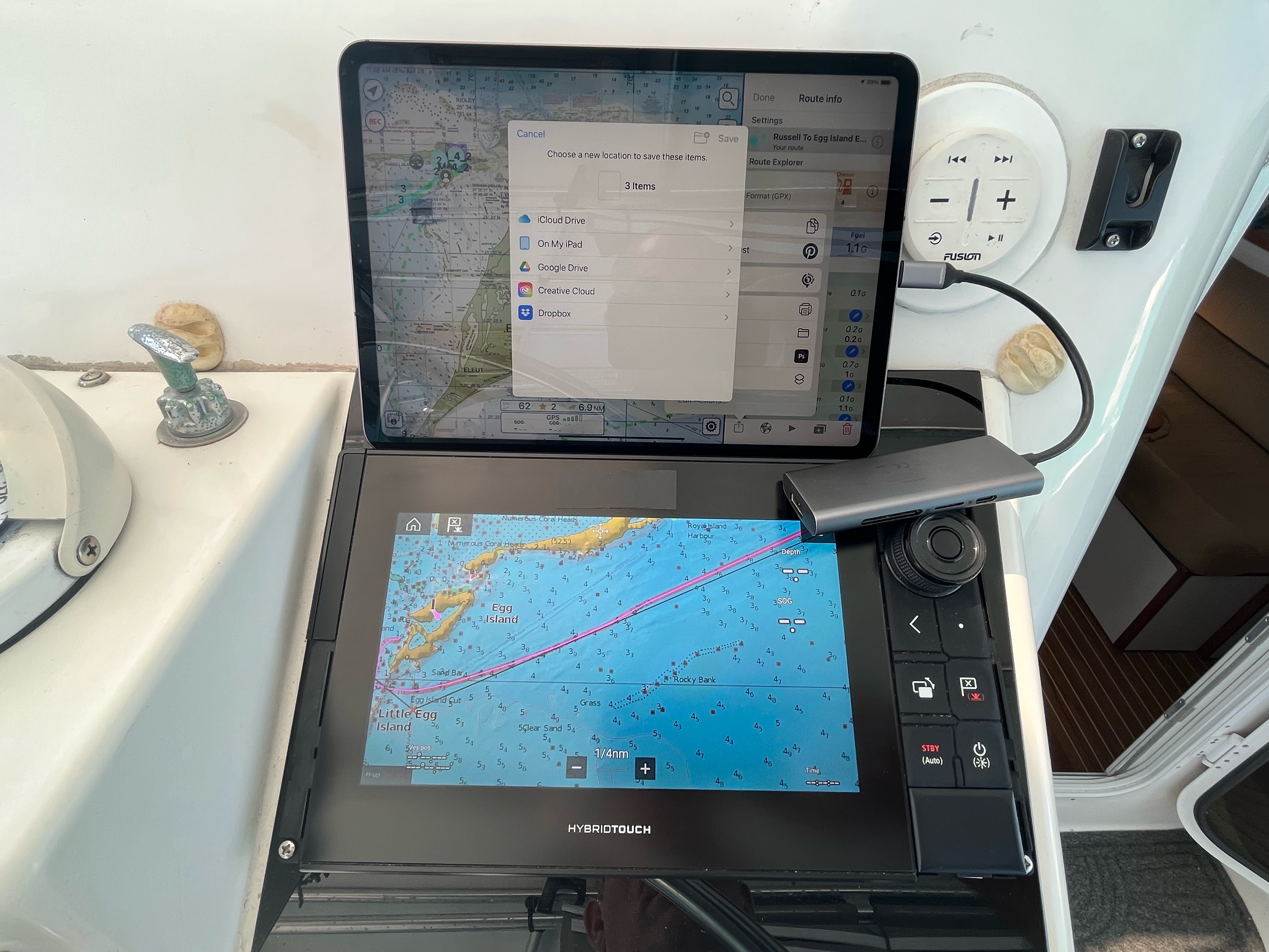
We always chart our planned routes and have found the touch interface on Aqua Map easier to use than on our chartplotter. After planning our routes in Aqua Map, we upload them to our GEC account, and transfer them to the SD data card in our chartplotter. Although the transfer can be done wirelessly, we usually use a card reader (as shown in the photo).

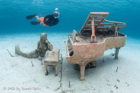
In February, we were at Musha Cay and Rudder Cut Cay for the better part of a week. There’s wonderful snorkeling in the area and you can visit David Copperfield’s Underwater Piano sculpture. Typically, from Rudder Cut we’d venture into the Exuma Sound but weather prevented that. With Aqua Map, we felt comfortable plotting through the “shallow inside route” all the way to Lee Stocking Island. Lee Stocking doesn’t offer any “services”, but pristine beaches, miles of hiking, and the ruins of the Perry Institute, make for a great stop. It offers a well-protected anchorage as and will certainly remain on our annual “must stop” list.
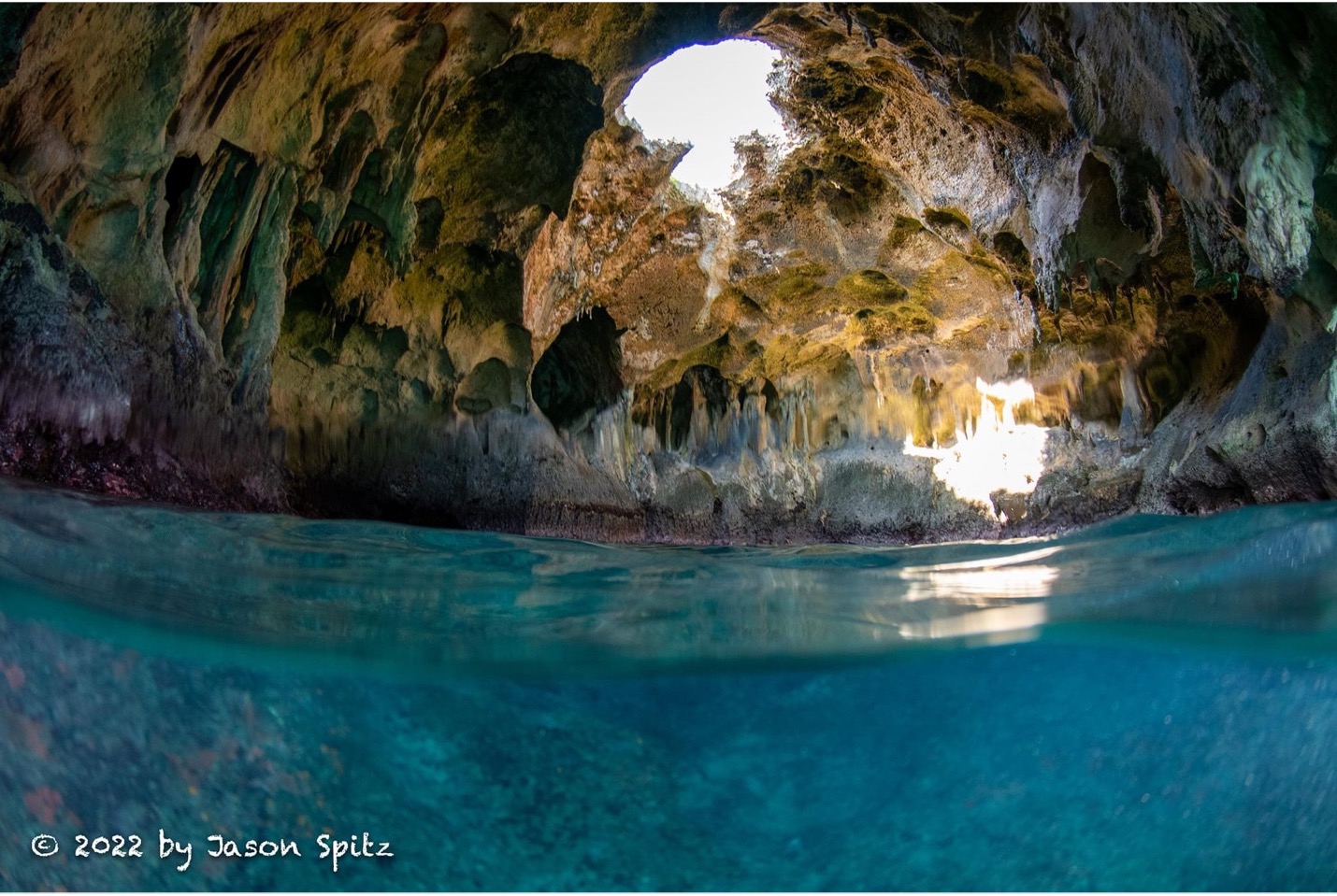
The Bahamas are full of cave systems. We’ve enjoyed exploring them and recommend seeing land and shoreline-based caves. Some of our favorites have included Rocky Dundas caves in the Exumas Cay Land and Sea Park, Hamilton Caves in Long Island, and Cathedral Caves in Eleuthera.

With Aqua Map we can see boat speed, depth, wind, and even AIS data simultaneously with all our other devices. It’s also great that crew on board, but not at the helm, can view live data on their own mobile device as Aqua Map permits up to 5 devices. And that mobility makes for great use on dinghy, kayak, and SUP trips, especially through mangroves and very shallow sand bars in the Bahamas

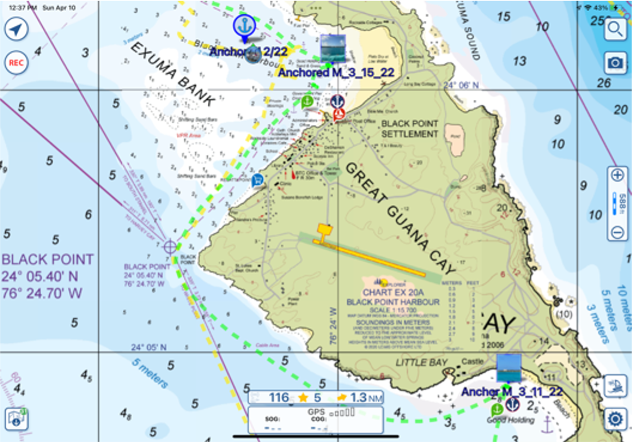
Finally, we always hit the record button to create a track when leaving an anchorage and arriving at another. We personally use yellow for our southbound travel and green for northbound. We mark our anchorages and take a photo and upload to our GEC account. This has provided us a wonderful track and anchorage report of our Bahama travels, which we will be able to use next year!
Jason Spitz, SV Breathe.


